

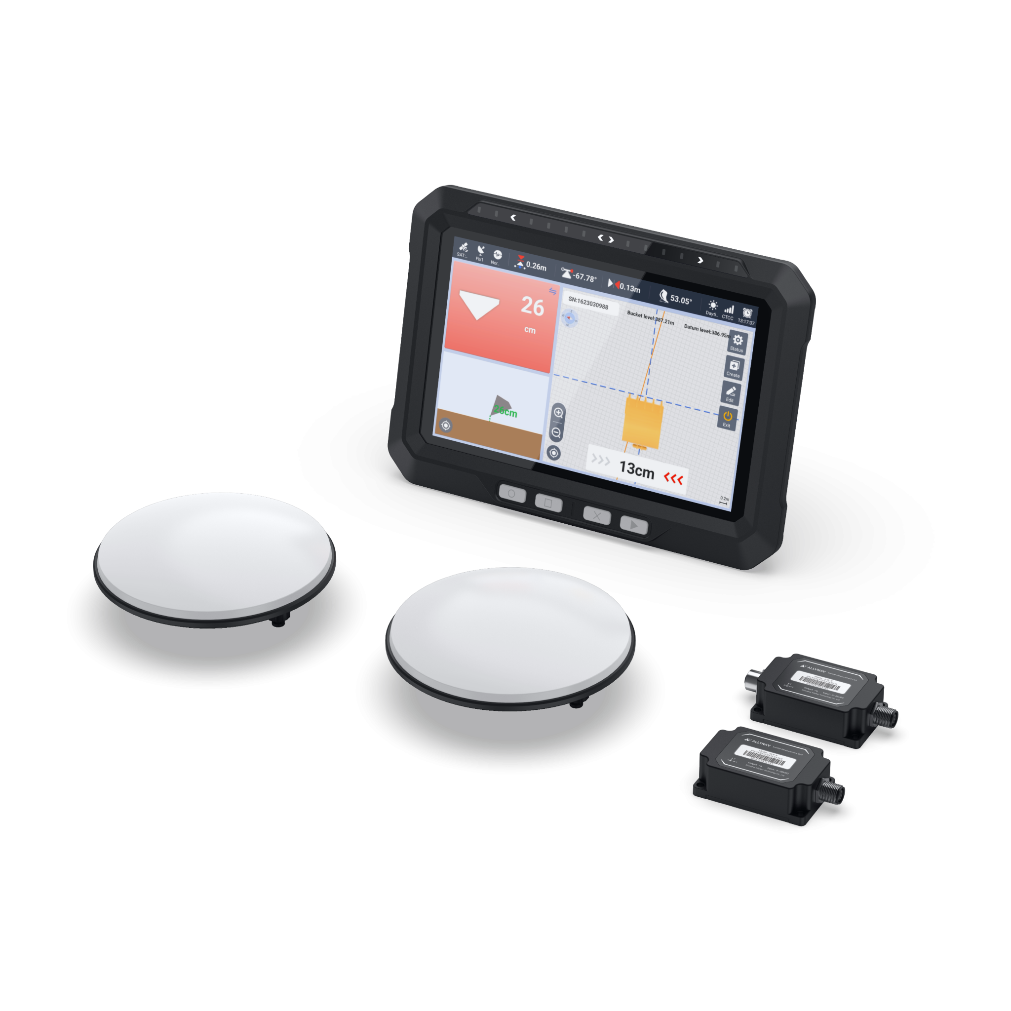
EGS101 Intelligent Excavator Guidance System
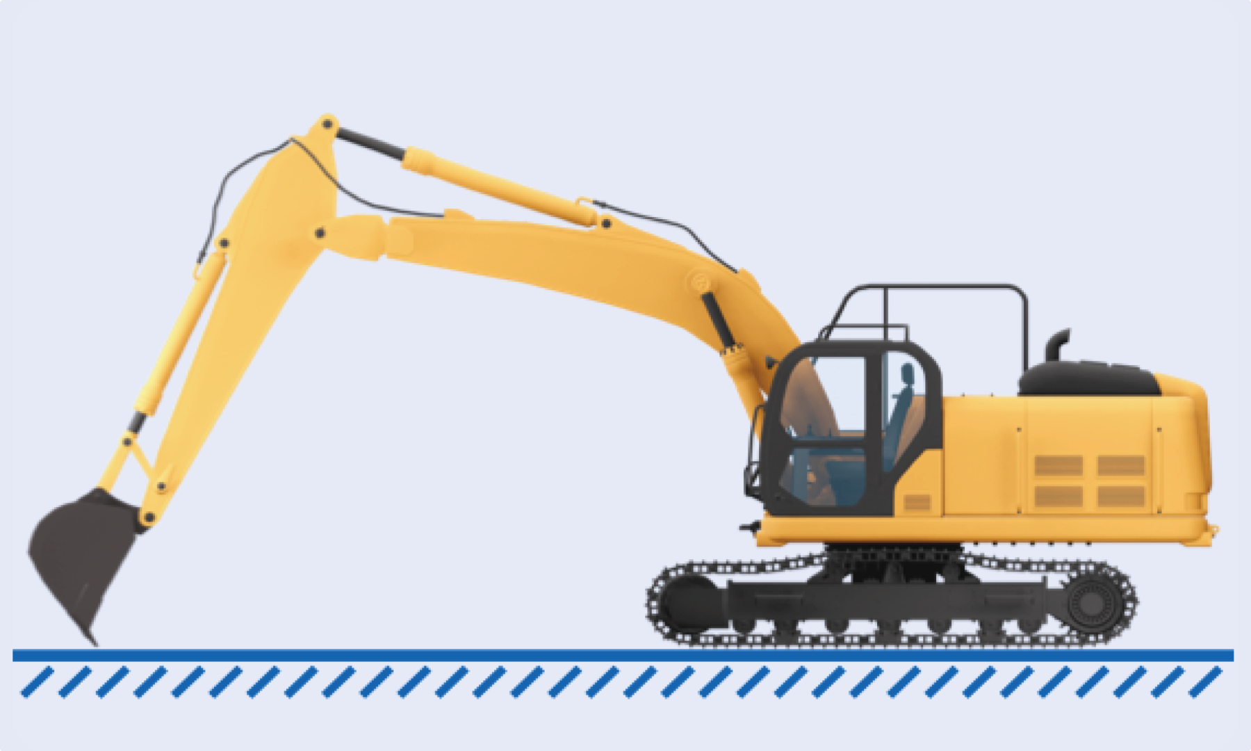
Land Leveling
Effortlessly set the desired height with a single click. The intuitive interface displays real-time deviation from the reference benchmark, ensuring centimeter-level grading accuracy while improving efficiency and minimizing rework.
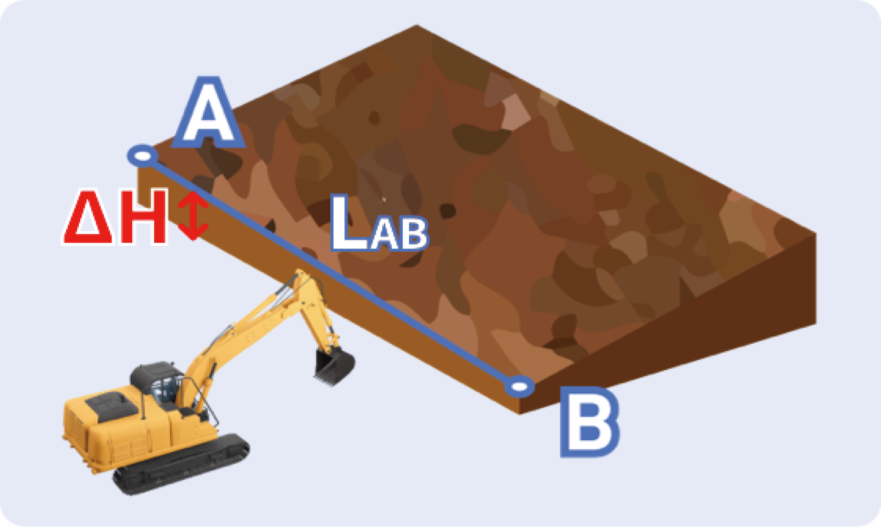
Straight-Line Guidance
Quickly establish a reference line by collecting A and B points. The system provides real-time guidance to correct lateral bucket deviation. During trenching and embankment work, it ensures straight alignment while precisely controlling longitudinal slope and target elevation according to preset parameters—reducing the need for manual surveying and improving construction accuracy.
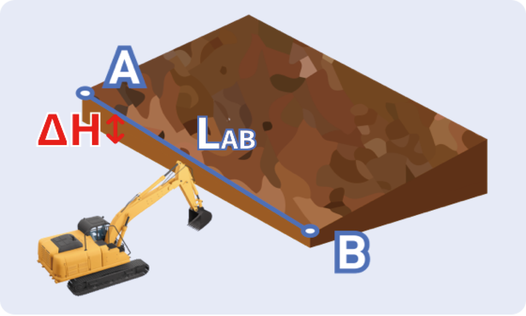
Slope Grading
After collecting the opening line and slope toe coordinates, operators can easily configure a precise slope model within the system. Guided by real-time elevation deviation, bucket angle, and machine orientation data, grading can begin immediately. Ideal for canal, road, and pond embankments, the EGS101 prevents undercutting and overcutting while ensuring consistent, uniform slopes.
| Section | Specification | Value |
|---|---|---|
| Tablet Display | Display | 10.1-inch, 1280 x 800 px |
| Processor | ARM Cortex-A7, 1.5 GHz | |
| RAM/ROM | 2 GB / 16 GB | |
| Input Voltage | 9 ~ 36V DC | |
| Output Voltage | 12V DC | |
| Communication Interfaces | USB, CAN Bus, Serial, LTE | |
| Wireless Connection | 4G, Wi-Fi, Bluetooth | |
| Operating System | Android 12.0 | |
| GNSS Antenna | Frequency Range | GPS L1/L2, BDS B1/B2/B3, GLONASS L1/L2 |
| Impedance | 50 Ohm | |
| Polarization | Right-hand circular polarization | |
| Axial Ratio | ≤ 3 dB | |
| Gain | 40 ± 2 dB | |
| Operating Voltage | 3.3 – 12V DC | |
| Operating Current | ≤ 45mA | |
| Connector Type | TNC Female | |
| IMU Sensor | Measurement Range | Pitch ±180°, Roll +90°, Azimuth +180° |
| Angular Repeatability | < 0.03° | |
| Resolution | 0.01° | |
| Acceleration Measurement Range | ±6 g | |
| Update Rate | 50 Hz | |
| Input Voltage | 9 – 32V | |
| Power Consumption | 0.2–0.36 W | |
| Connector Type | M12 aviation 5-pin connector |